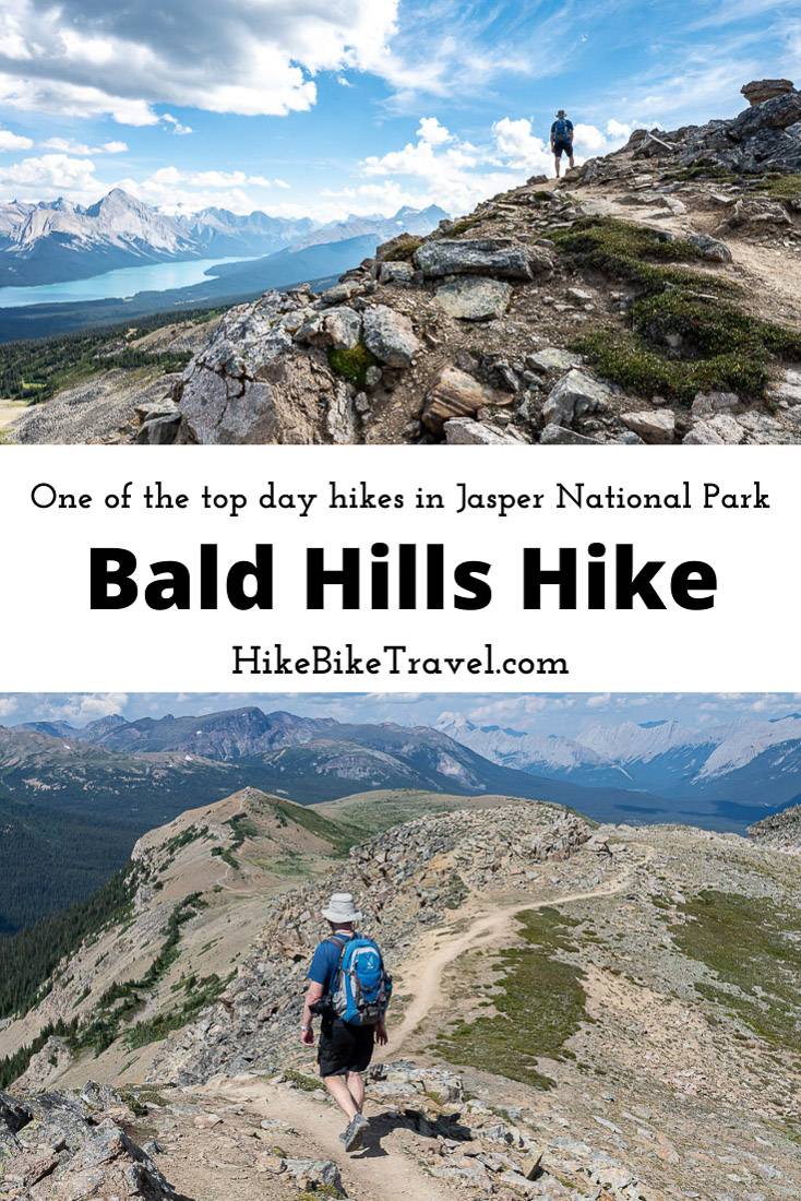
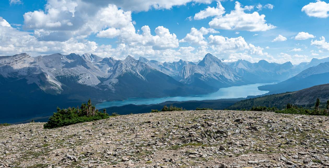
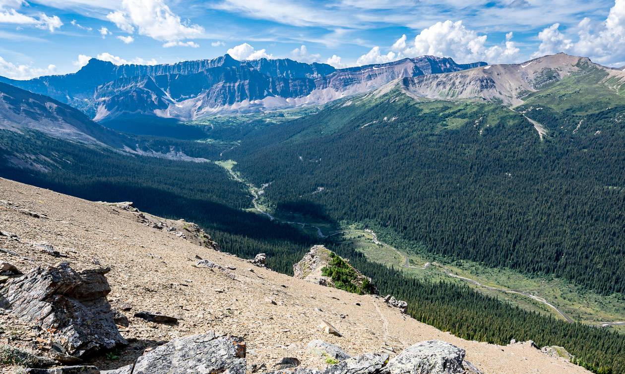
The Bald Hills Trail hike in Jasper National Park is for those of you who don’t mind putting up with a slog up a fire road to reach kilometres of wondrous hiking above treeline with panoramic views of Maligne Lake, the Evelyn Creek Valley, the multi-hued Opal Hills along with a glacier or two. Of eight day hikes I’ve done in Jasper National Park, it’s my favourite.
Bald Hills Trail Summary
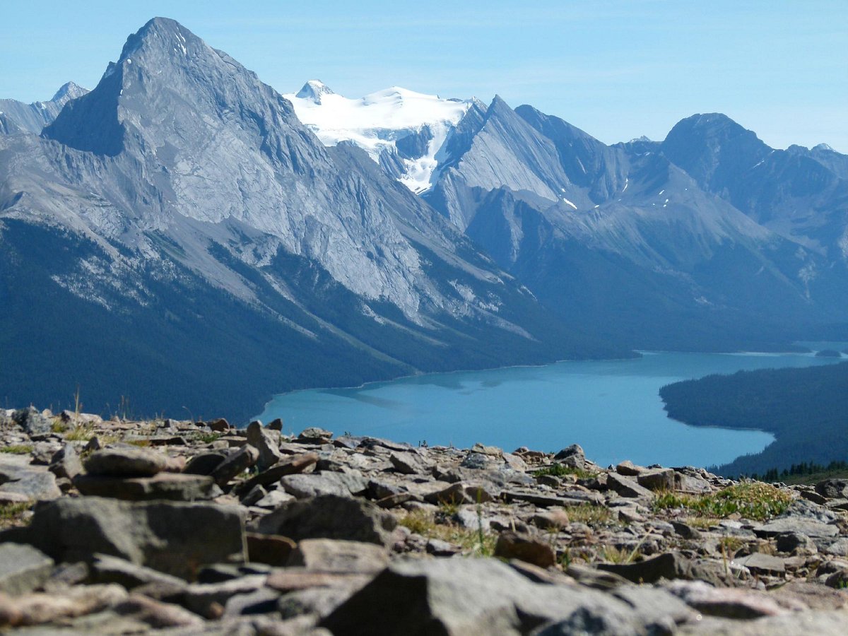
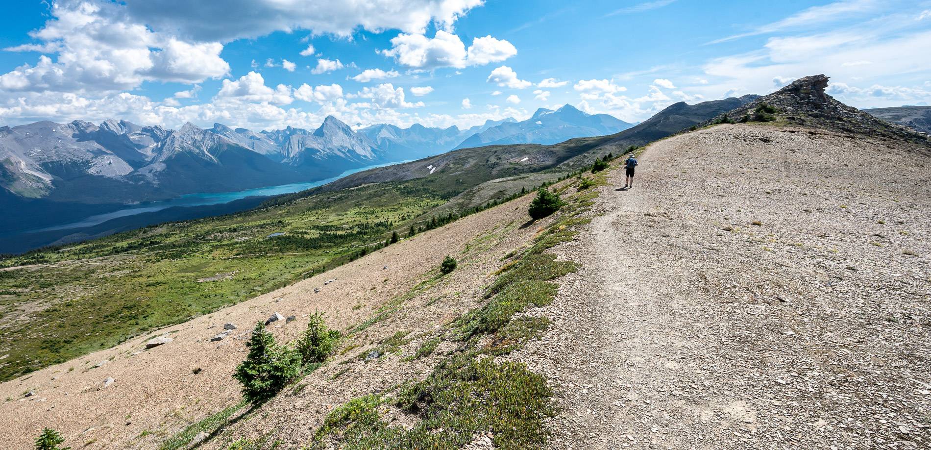
- One of the outstanding and popular hikes in Jasper National Park with a fantastic panorama that includes Maligne Lake, and the Queen Elizabeth ranges.
- Climb approximately 610 metres over a 14.0 km return hike (if you take the shortcut)
- Allow 4 – 6 hours for the return hike. On a sunny day, the Bald Hills Viewpoint is a lovely spot to linger.
- The first and last 2.5 km is on a fire road if you take the shortcut. If you stick to the fire road, you’ll be on it for 5.2 km each way.
- Dogs are not permitted as this is caribou country.
- In summer, there can be quite a show of wildflowers including moss campion, stonecrop, bellflowers, gentian, and white mountain heather.
This post includes some affiliate links. If you make a qualifying purchase through one of these links, I will receive a small percentage of the sale at no extra cost to you. Thank you very much for your support.

Bald Hills Trail details
Distance: 14.0 km round trip that includes the short cut and the loop; add 2.8 km if you stick with the fire road both going up and coming down
Elevation gain: Approximately 610 metres or 2001 feet
Difficulty: Moderate
Time needed: 4 – 5 hours
Location: Jasper National Park at the north end of Maligne Lake
Dogs allowed: No – because of caribou
Map needed: Gem Trek – Jasper and Maligne Lake
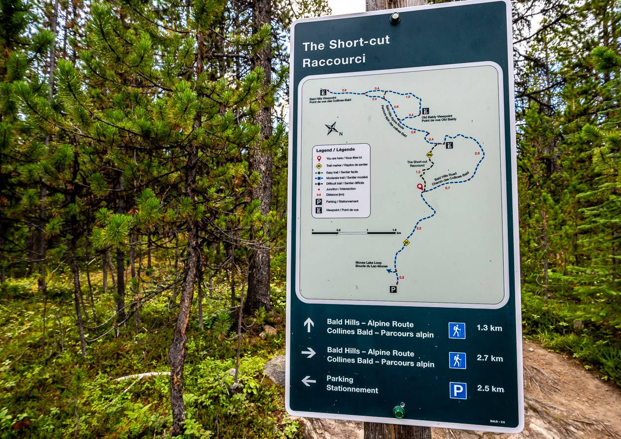
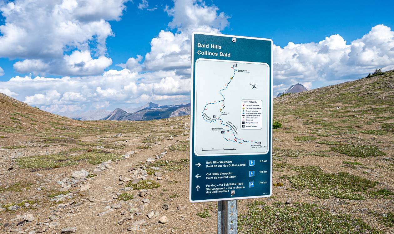
Signage: Excellent; found maps with mileage indicators at all intersections
Don’t forget: Pack the 10 essentials and a warm coat as it can get windy at the top. Take bear spray.
Before you go: Check the weather forecast as this is no place to get caught in an electrical storm.
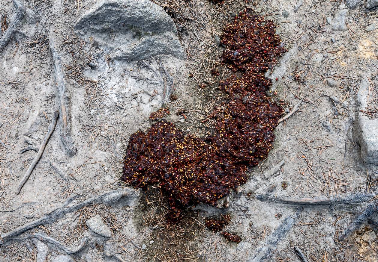
Animals you might see: Apart from obese golden-mantled ground squirrels at the summit, watch for grizzly bear, caribou, and moose.
Finding the trailhead
From Jasper drive east on Highway 16 for 5 km to reach Maligne Lake Road. Turn right and cross the Athabasca River and pick up Maligne Lake Road. Follow it for 44.3 km to reach the very end of the road and a parking lot. The trailhead is across the street from the parking lot and is well signed. Allow an hour to do the drive, especially with slow moving RV’s and wildlife sightings.
Bald Hills Trail route description
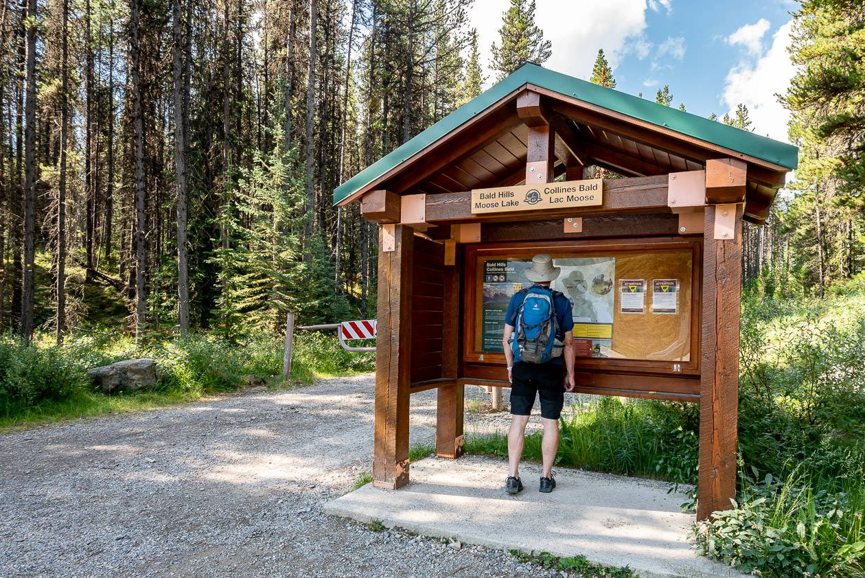
The Bald Hills trail hike shares a start with the easy Moose Lake hike. Look for the kiosk and begin hiking up the fire road. You reach the signed intersection to the Moose Lake Loop within 10 minutes. We had planned to hike the 2.5 km around the lake at the end of the Bald Hills hike, but a cold drink seemed more important at the time. We did meet a couple who had seen a moose at the lake, so if it’s moose you’re after, consider doing the short, easy loop first before continuing up the fire road. And be sure to give any moose you see a wide berth!
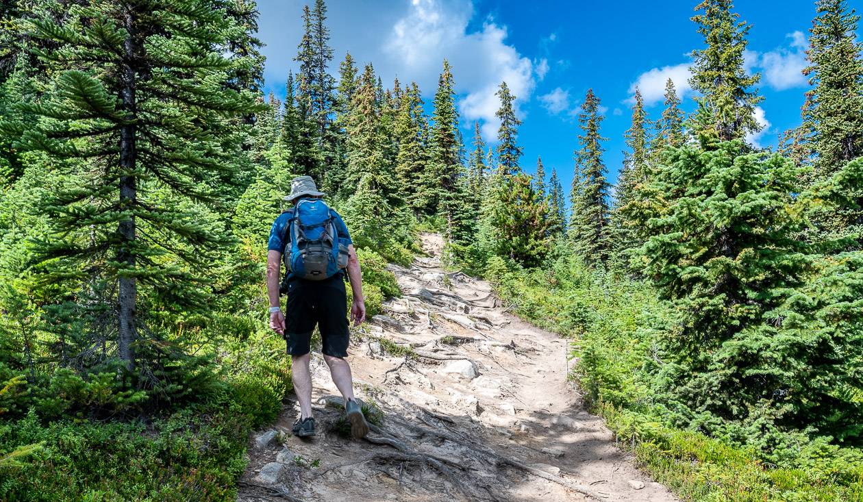
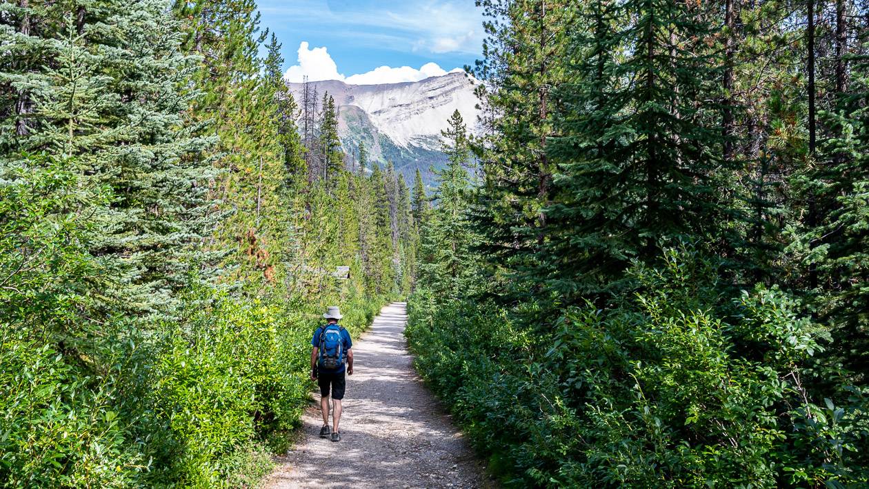
Continue up the fire road, climbing steeply in places as the road ascends to reach the signed turnoff indicating the short-cut at 2.5 km. We chose to take the short-cut, knowing it would be steeper. Although there were lots of roots, it was worth knocking off 2.7 km of walking along the fire road. If you have bad knees or sore toes, you might want to descend on the fire road.
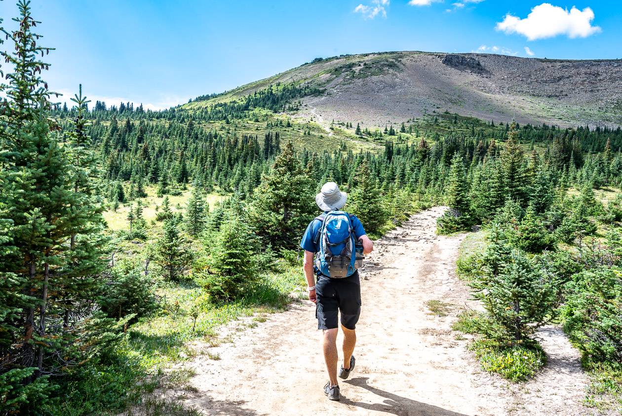
After 40 – 50 minutes of climbing you’ll meet up with the trail to the Bald Hills. Turn left and continue for another kilometre, climbing, gently at times through the trees. Reach a signed junction where you have the option of doing a loop that includes the Old Baldy Lookout or continuing straight on the Bald Hills Alpine route. If you do that you’ll reach the Bald Hills Lookout in another 2.8 km.
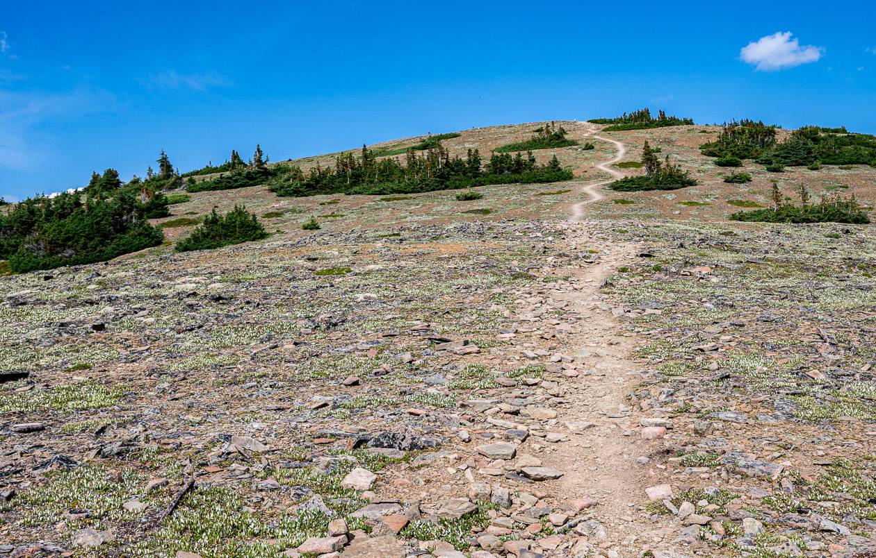
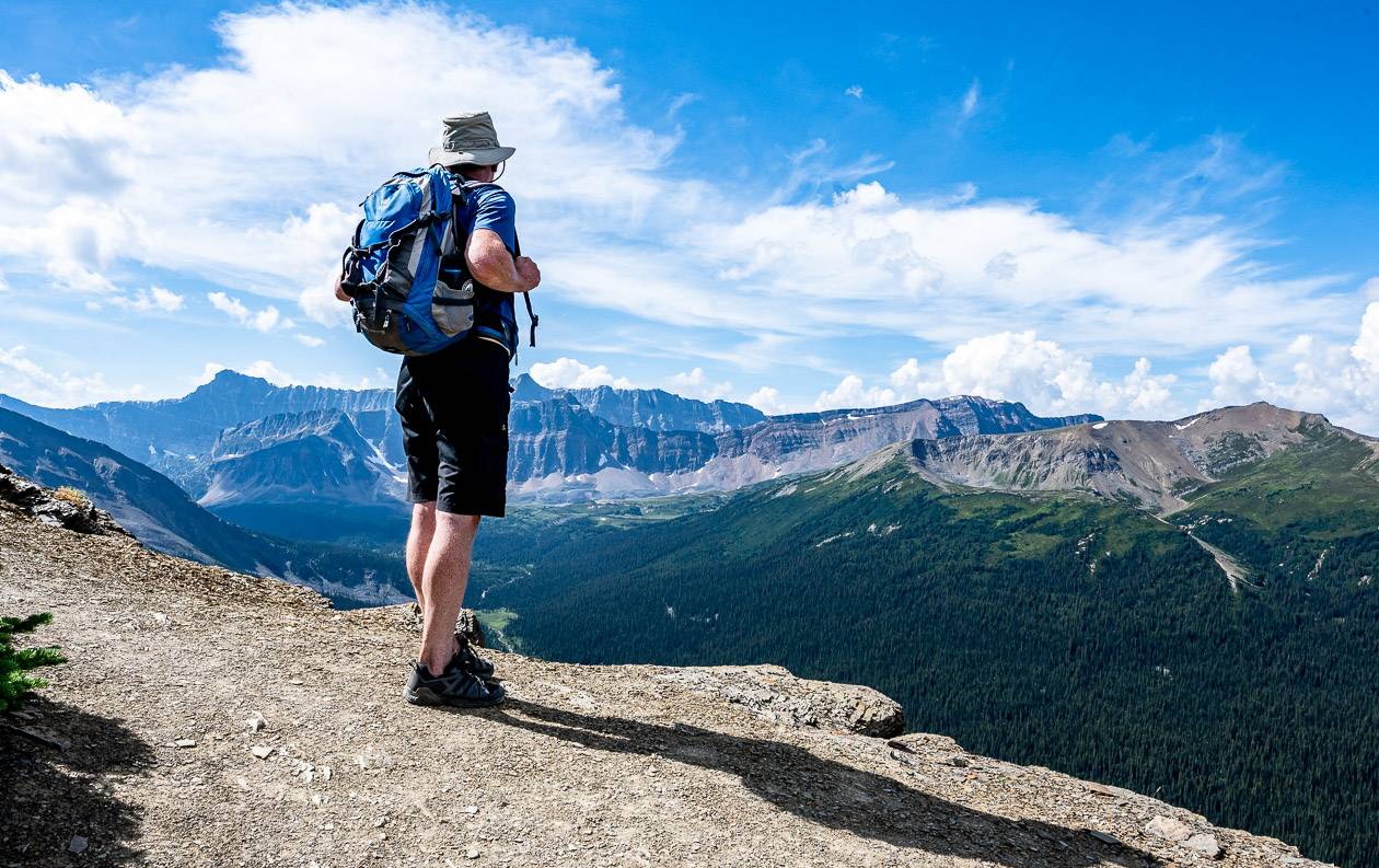
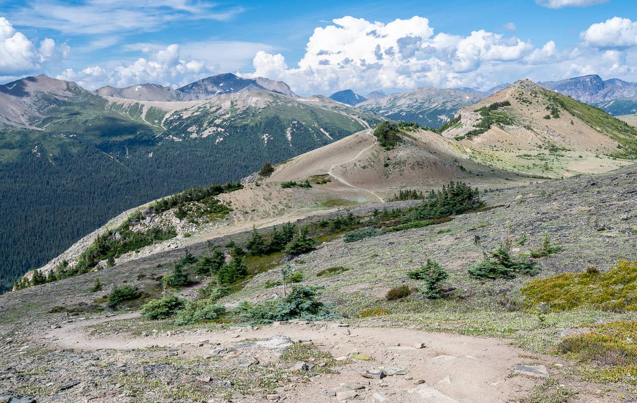
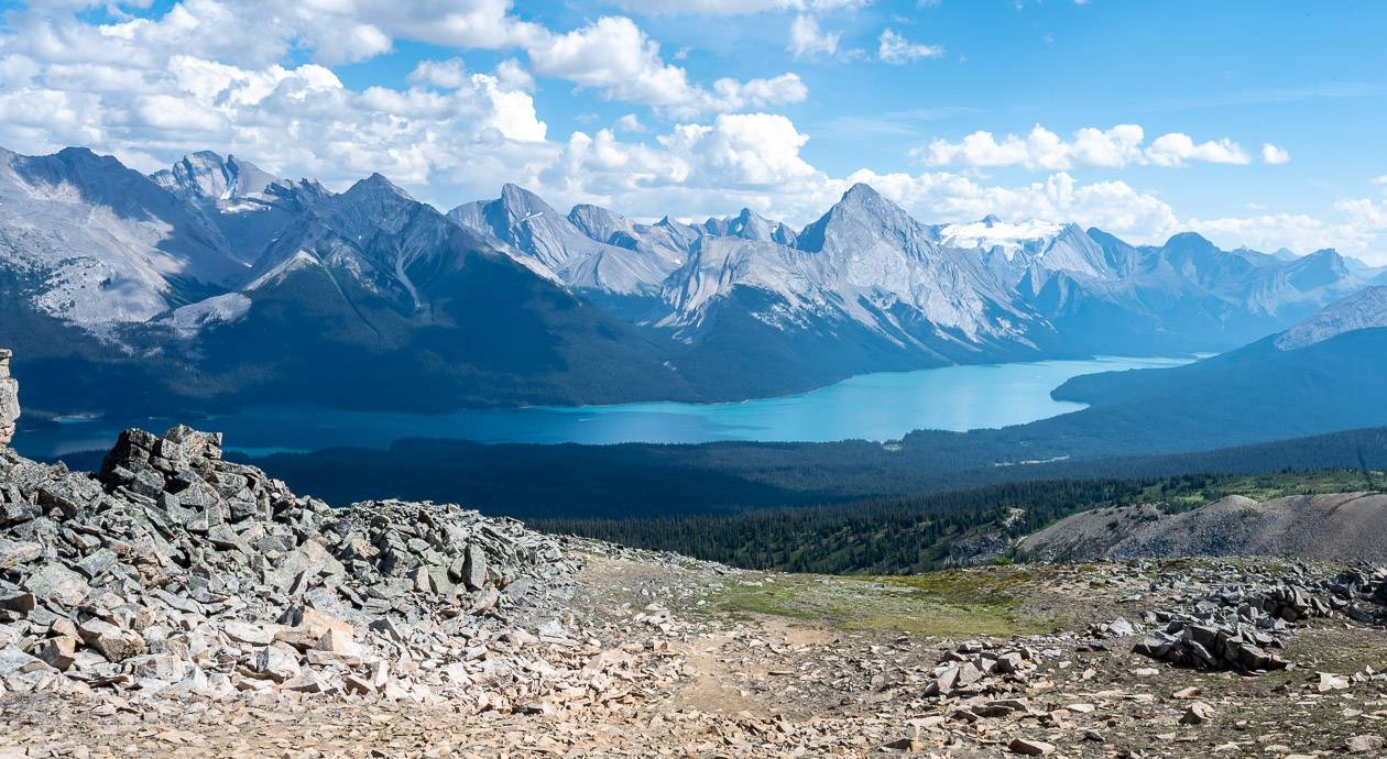
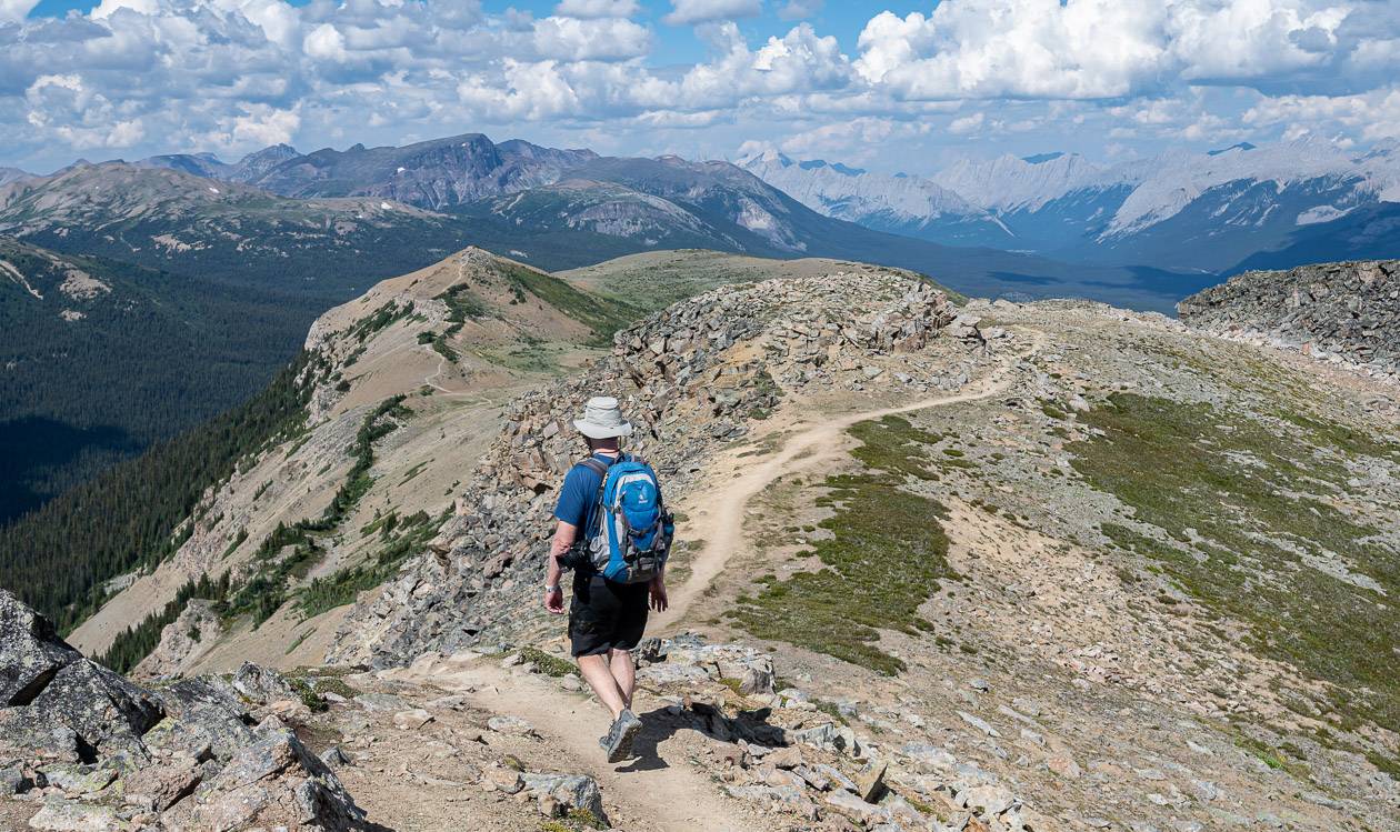
We elected to hike the loop in a counter clockwise direction. I loved this part of the hike as you can see all the trails, along with panoramic mountain views and Maligne Lake. We hiked up to the first of the Opal Hills, enjoying airy views of the Evelyn Creek Valley. The next hill was a little higher and the view a little better. Then you descend to pick up the trail leading to the Bald Hills Viewpoint. I didn’t find the hiking along the edge scary in the least, as the trail was plenty wide.
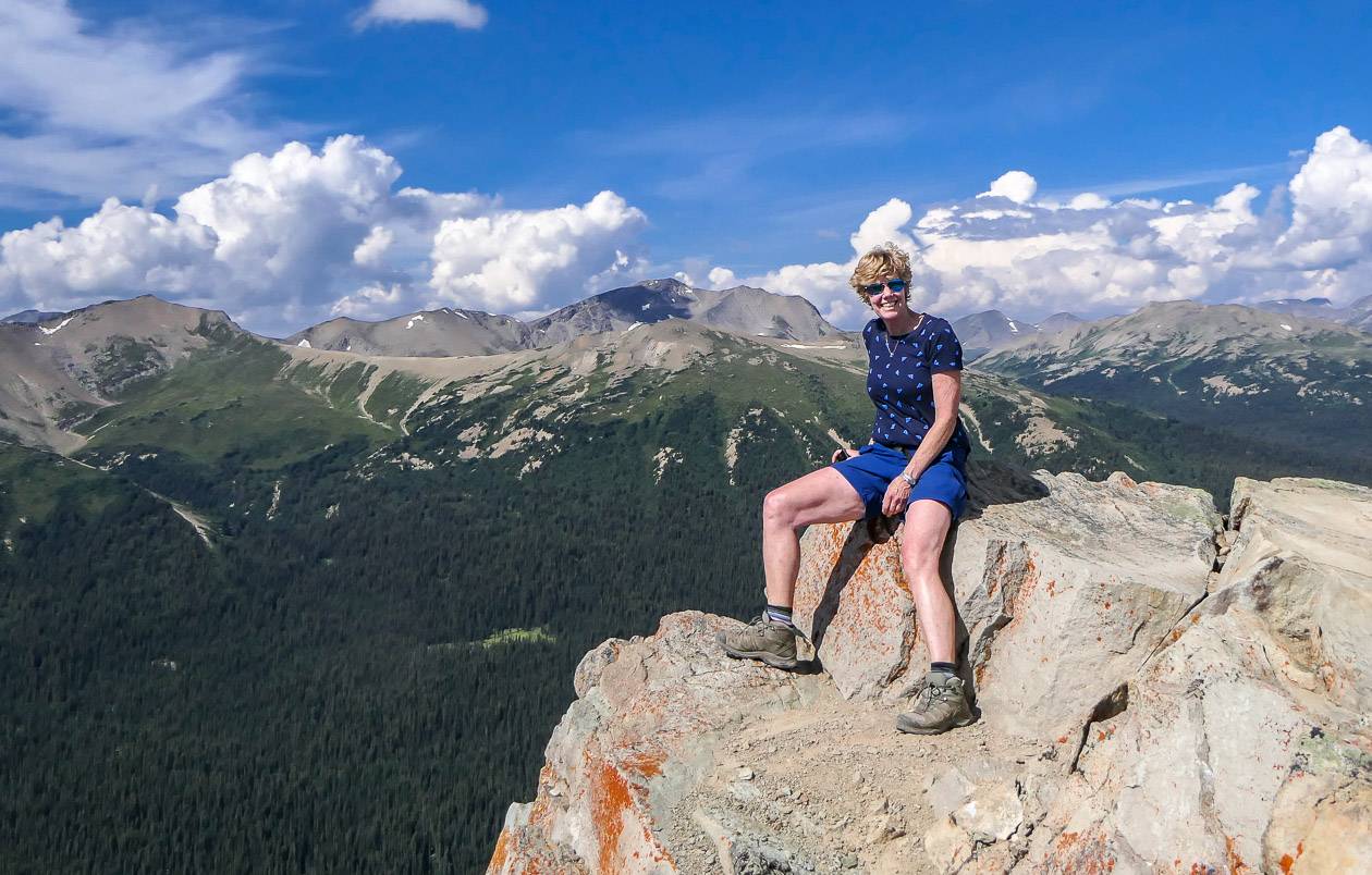
The final hike up to the viewpoint is over all too quickly. Find a flat rock and enjoy a view of Leah Peak, Samson Peak and Maligne Mountain – and perhaps even a caribou sighting if you’re lucky.
Retrace your steps to return. I found the descent to be fast, especially as we took the cut-off trail. While its steep, there are very few ball bearing type pebbles to throw you off balance. We were down in under two hours.
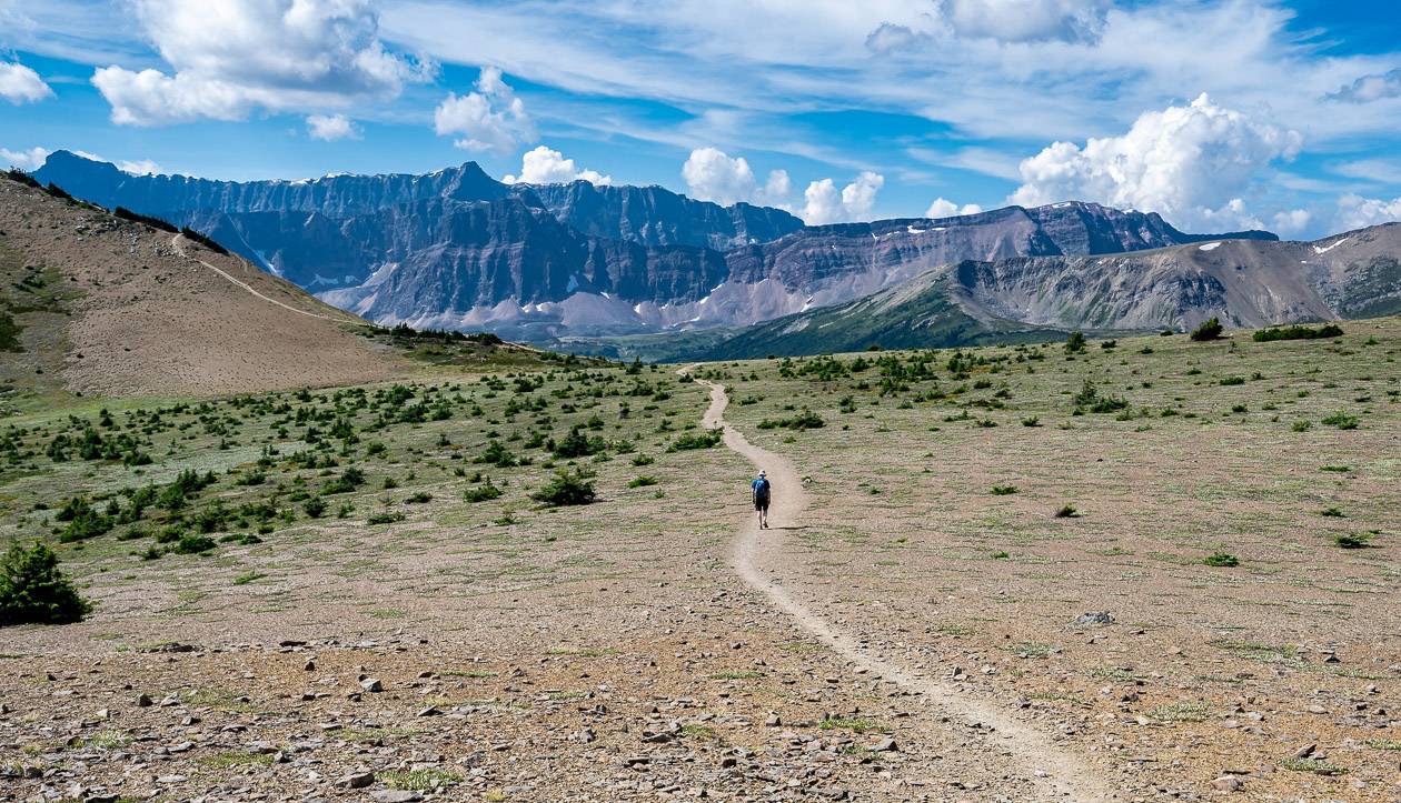
Once you’re off the cut-off trail, the hiking is delightful. It’s a treat to look around and see nothing but mountains and wildflowers in season.

A few things to take on the hike
I like something comfortable to sit on at lunch time like this weightless seat cushion.
If you have made knees you might want hiking poles. Invest in a good pair that are collapsible, preferably made of carbon because of their weightless quality.
No matter how the day starts I always carry a good rain jacket. And I find a ball cap or brim hat with a chin strap invaluable in the rain or on a hot, in your face sunny day.
Another nice addition for those of you who love wildflowers is the book Popular Wildflowers of Alberta and the Canadian Rockies.
After the hike how about a boat cruise?
If you’re not planning to visit Jasper National Park again, I’d highly recommend a Maligne Lake boat cruise to Spirit Island. It is truly exceptional scenery and after hiking the Bald Hills Trail, it would be interesting to have the on-water experience. You can book a the boat cruise here – but know that they sell out quickly, even though they run frequently during the day.
I have kayaked to the end of Maligne Lake where John and I spent a couple of nights camping. This post will give you an idea of the magnificent scenery you’ll see on the lake.
More posts you might enjoy
- 19 Unmissable Stops on the Icefields Parkway
- Everything You Need to Know About Camping on the Icefields Parkway
- Sunset Pass & Sunset Lookout Hike – Icefields Parkway
Click on the photo to bookmark to your Pinterest boards.